cat ~/projects/marafiq-plus.md
Marafiq Plus
Find every park and public facility in Amman, and report what is broken.
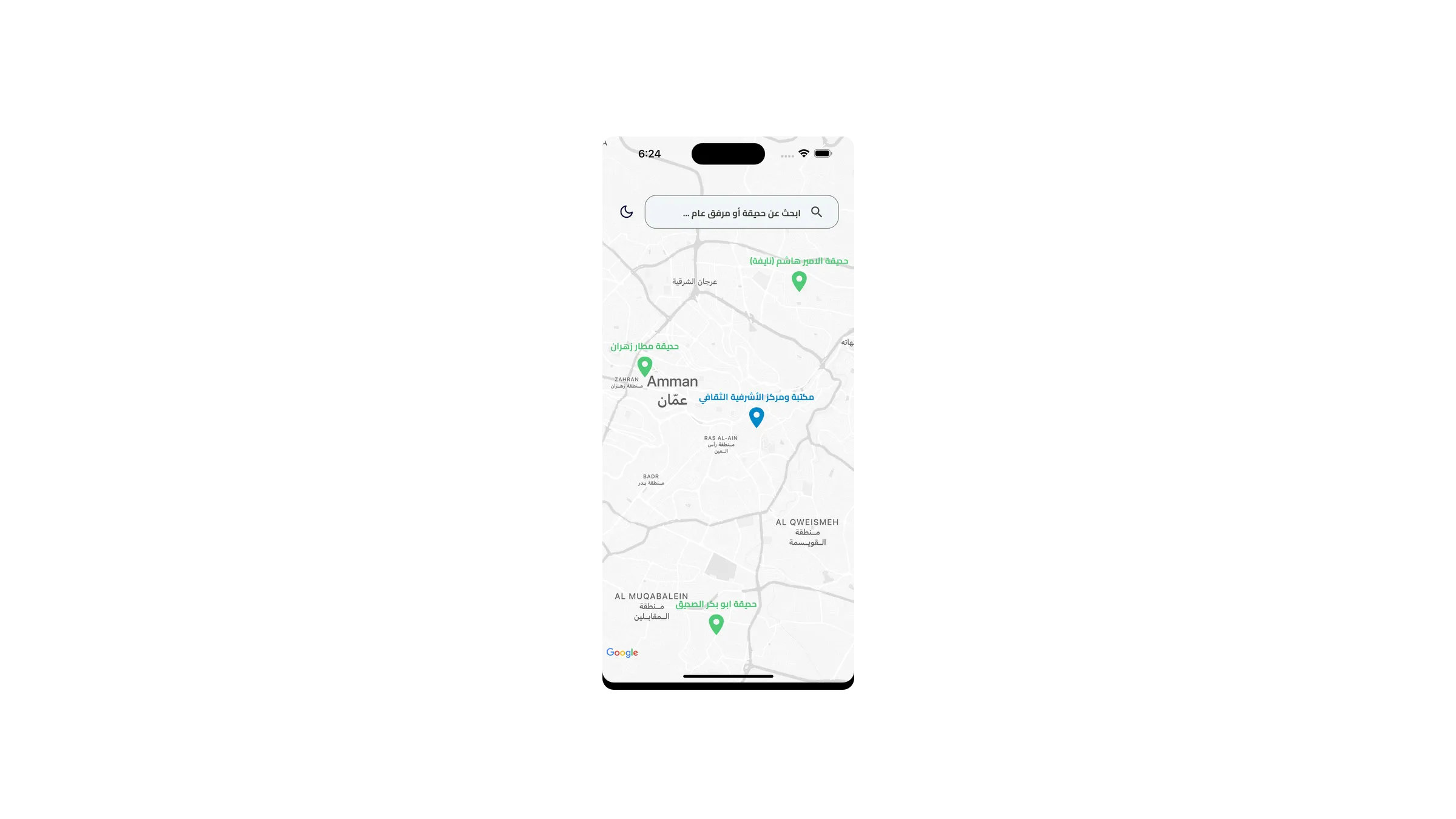
A map-driven guide to parks and public facilities under Greater Amman Municipality, with search, details and the ability to report issues back to the municipality.
- Role
- Client project: mobile development
- Year
- 2025
- Status
- Shipped
- type
- Mobile
- Built with
- React NativeExpo RouterTypeScriptGoogle MapsFirebaseZustandReact QueryReanimatedRestyleFuse.js
- Where to find it
- Google PlaySource
head -n 40 overview
What it is
Amman has far more public green space than people use, mostly because nobody knows where it is. The municipality had the data; residents had no way to see it.
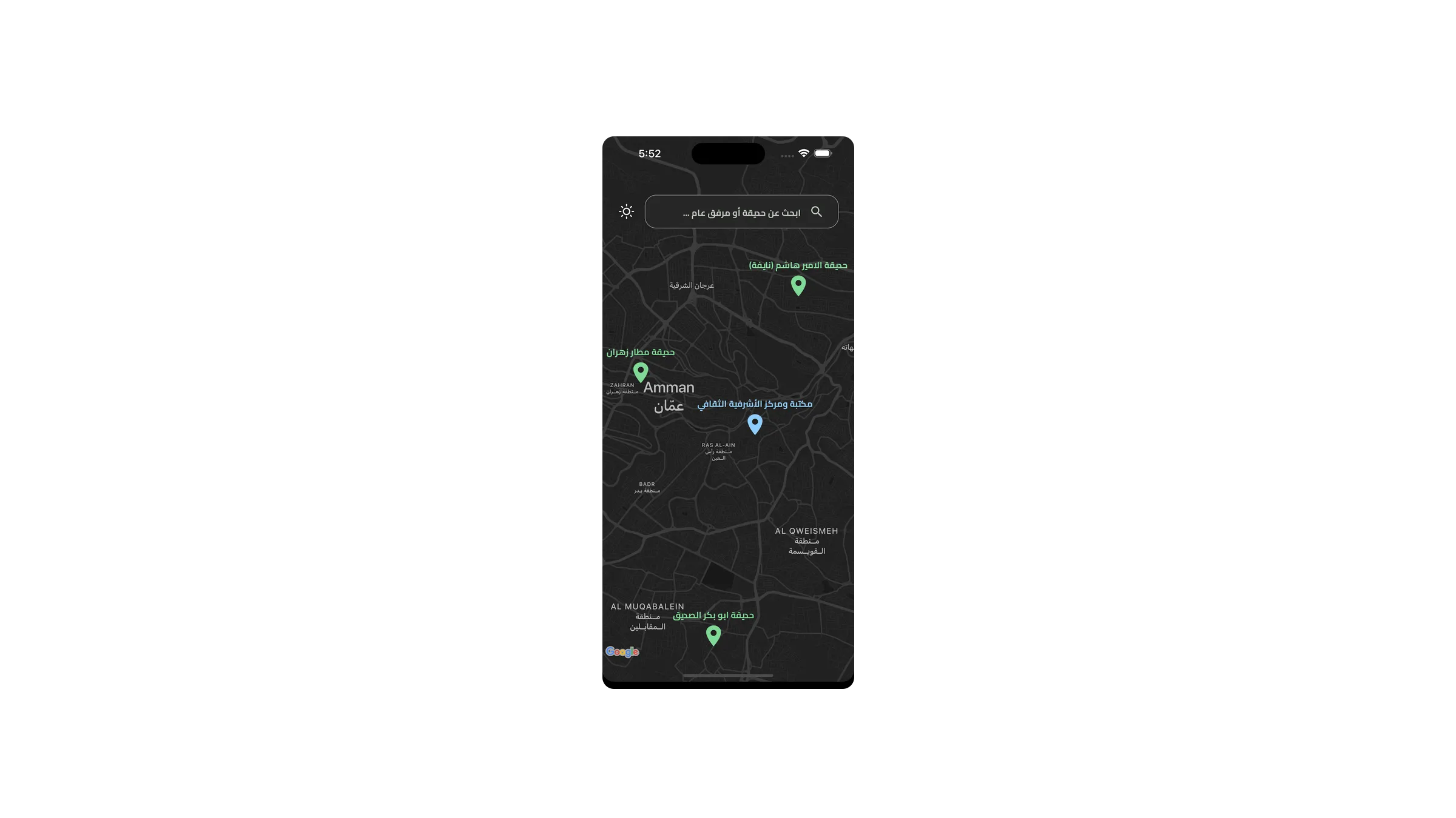
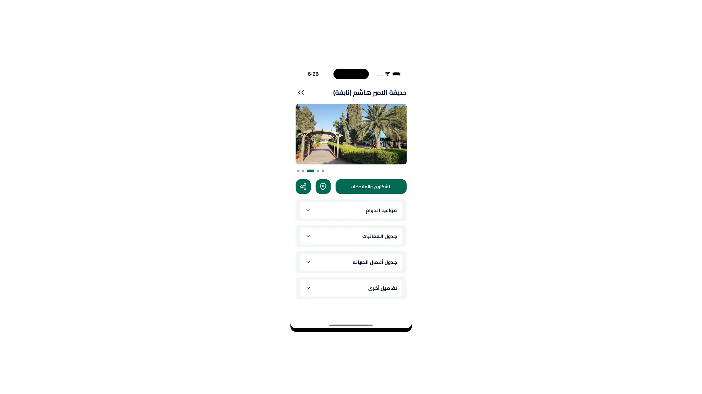
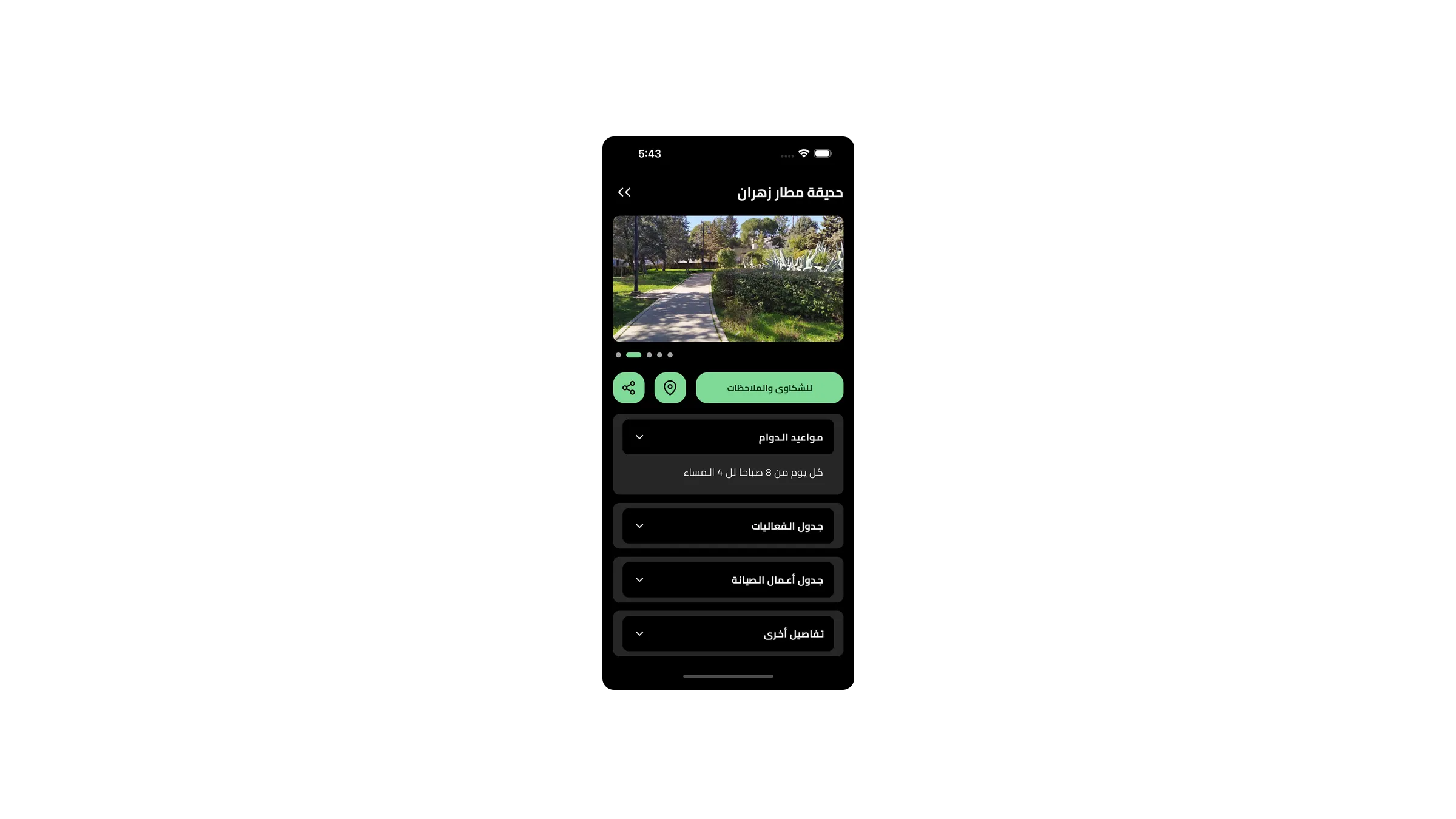
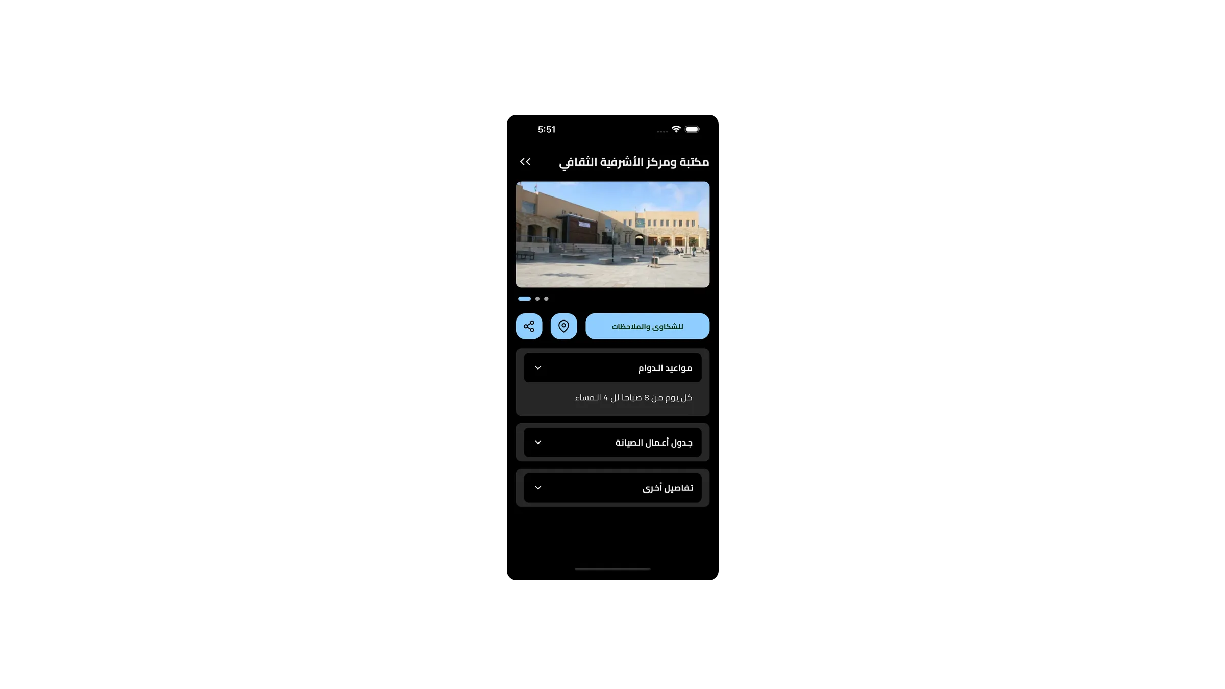
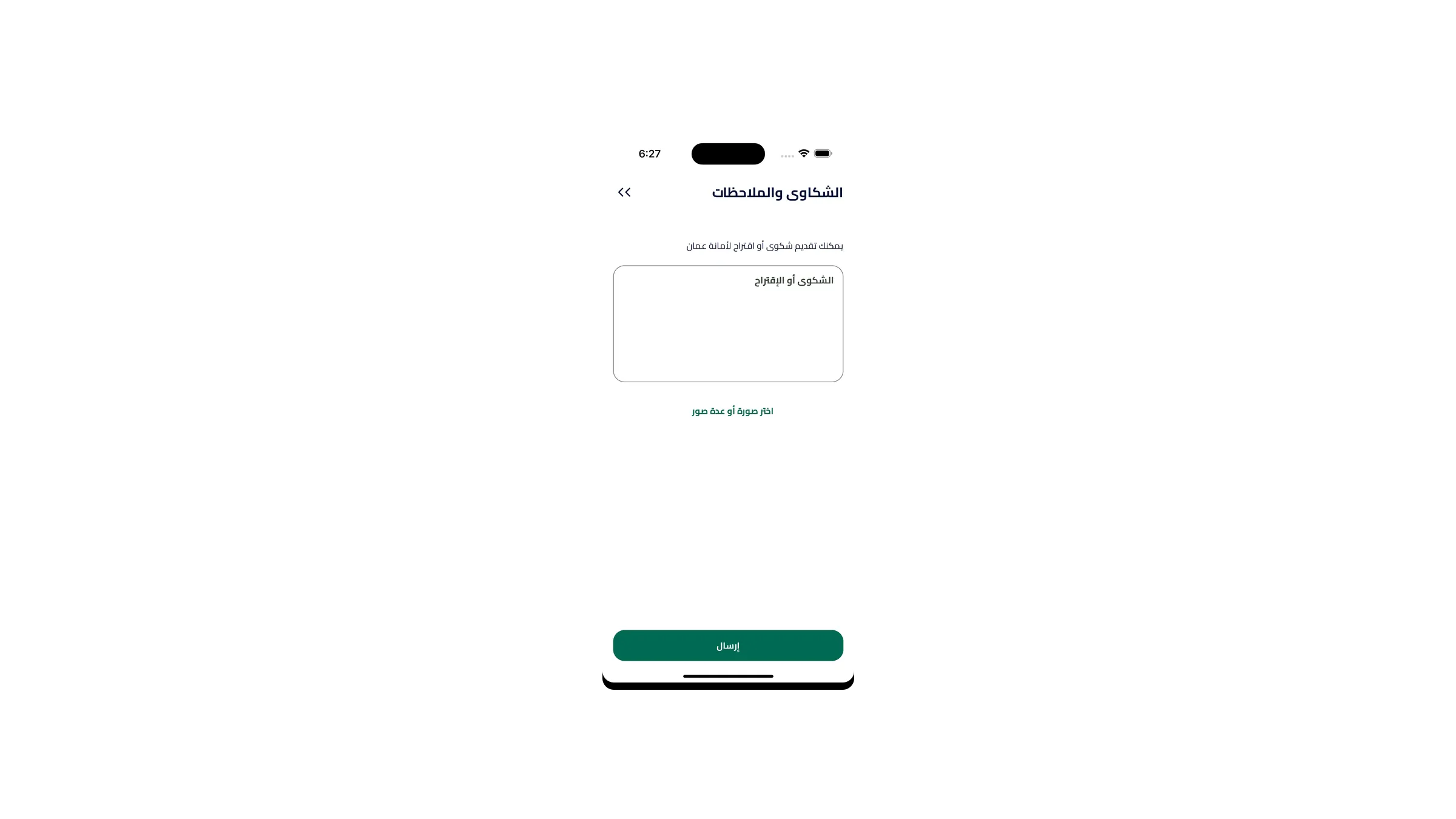
The app puts every park and facility on a detailed map with the practical information of where it is, what is there and whether it is open, and closes the loop by letting residents report problems directly instead of finding a phone number.
diff before after
Challenges
A line taken out, a line put in. The problem first, then what actually replaced it.
Hundreds of pins is not a map, it is noise
Rendering every facility at city zoom produces an unreadable cluster and drags the frame rate down on mid-range Android devices.
Markers cluster by zoom level and only the visible viewport is queried, so the map stays legible and the device only ever renders what is on screen.
People search for places by the wrong name
Official facility names rarely match what residents call a place, and Arabic spelling varies. Exact matching returns nothing for most real searches.
Fuzzy search over normalised Arabic text, so approximate spellings and partial names still land on the right facility.
tail outcomes
Results
- Published on Google Play for Greater Amman Municipality.
- Map, search and citizen issue reporting in one app.
open ./shots/*
The screens themselves
Keep readingتابع القراءة
opendiscover-ajloun
Next projectDiscover AjlounTourism and municipal complaints for Ajloun Governorate, in one app.